RA II WIGOS Project to Develop Support for NMHSs in Satellite Data, Products and Training
- "WMO Space Programme"
- "Data Access and Use"
- "WMO OSCAR/Space (Satellite missions, systems, and instruments)"
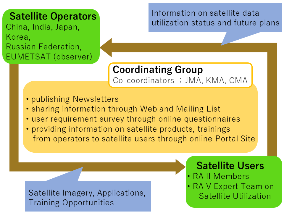
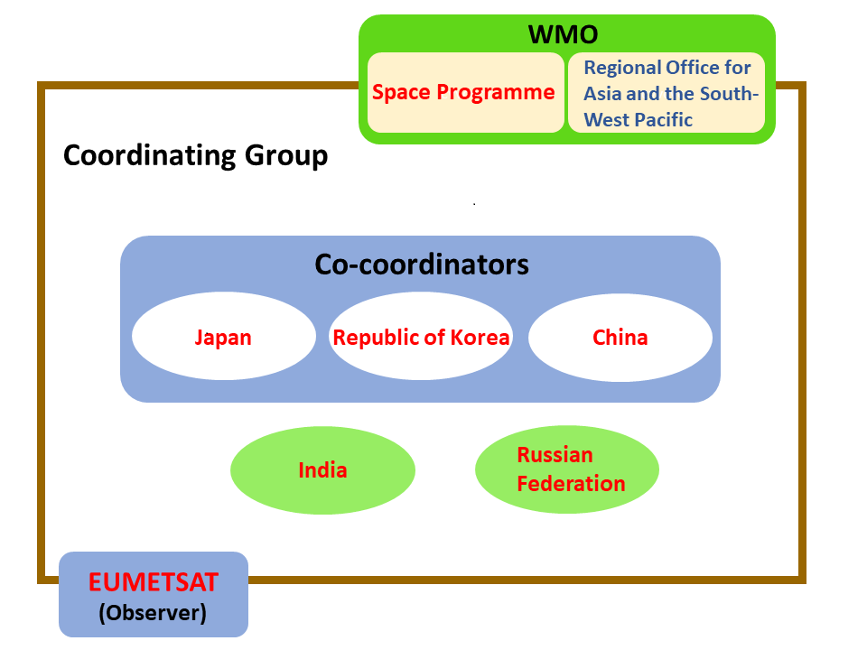
Co-coordinator
![]()
![]()
Under the auspices of

index
- Background
- Mission
- Accomplishments
- Work Plan
- Structure of the Project
- Meetings
- Request-based high frequency regional observation
- Newsletters
- RA II and RA V Survey on the Use of Satellite Data 2018
Background
The 14th session of WMO Regional Association II, held in Tashkent, Uzbekistan in December 2008, adopted a resolution to establish a pilot project for the development of support for National Meteorological and Hydrological Services (NMHSs) in the areas of satellite data, products and training. After the session, the WMO Secretariat invited WMO Members to join the Pilot Project Coordinating Group, whose members as of 31 May 2011 are Japan (Co-coordinator), the Republic of Korea (Co-coordinator), Bahrain, China, Hong Kong – China, India, Kyrgyzstan, Maldives, Oman, Pakistan, the Russian Federation, Uzbekistan, Vietnam and, as an observer, EUMETSAT.
At the 15th session of Regional Association II held in Doha, Qatar in December 2012, it was decided that the RA II Pilot Project to Develop Support for NMHSs in Satellite Data, Products and Training should continue and become the RA II WIGOS Project from 2013 in light of its importance in improving dialogue between satellite operators and users in the Region.
The Association stressed the importance of identifying and regularly documenting Region-oriented requirements for satellite data access and exchange, following the guidance provided by the “Procedure for Documenting Regional Requirements for Satellite Data Access and Exchange” [See Recommendation 4.2/4 (CBS-15)]. It tasked the Project to develop an initial set of such requirements.
Based on successful completion of the Project plan 2013-2016, the 16th session of the WMO Regional Association II (RA II-16, Abu Dhabi, UAE, Feb. 2017) approved the Regional WIGOS Implementation Plan 2017 – 2020 (R-WIP-II) which includes the RA II WIGOS Implementation Project to Develop Support for NMHSs in Satellite Data, Products and Training. The 17th session of the WMO Regional Association II (Phase 2,virtual, September 2021) approved the RA II operating Plan 2021–2024 (RA II OP), in which RA II WIGOS Project – Develop Support for NMHSs in Satellite Data, Products and Training - Next Phase continues to be one of activities in satellite area. The RA II Expert Team on Satellite Observations and Applications (RA II ET-SOA) was established under the RA II Working Group on Infrastructure in 2022 to lead the coordination of the implementation of RA II OP 2021–2024 in terms of satellite observation and application which includes the activity for RA II WIGOS Project – Develop Support for NMHSs in Satellite Data, Products and Training - Next Phase.
Mission
This project assists NMHSs in RA II to make better use of satellite-related information, in collaboration with all relevant satellite operators. It is necessary to establish close coordination and create synergy between other ongoing projects such as the WMO-CGMS Virtual Laboratory (VLab), and the RA V Expert Team on Satellite Utilization (RA V ET-SAT), and to provide greater benefits while avoiding duplication of effort.
Accomplishments
The RA II Pilot Project 2009-2013 resulted in the following accomplishments:
- Issuance of newsletters for RA II members
- Establishment and maintenance of project web pages on the WMO Space Programme website
- Identification of the status of availability and use of satellite data by RA II Members through an online survey (results are available here)
- Assistance to organizing the Asia/Oceania Meteorological Satellite Users Conferences (AOMSUC)
- Organization of two Coordinating Group meetings (2011 and 2012)
- Reporting to WMO RA II and CBS/ET-SUP
- Development of next-phase work plans
The accomplishments of the RA II WIGOS Project (Sep. 2013-2023) were as follows:
- Support for the preparation of satellite data users in relation to the new generation of geostationary meteorological satellites
- Establishment of close coordination between the RA II WIGOS Project and the RA-V Task Team on Satellite Utilization
- Establishment of the new webpage of the RA II WIGOS Project (hosted by JMA)
- Convening the series of Asia/Oceania Meteorological Satellite Users’ Conference (AOMSUC)
- 4th conference, held in Melbourne, Australia in October 2013
- 5th conference, held in Shaghai, China in October 2014
- 6th conference, held in Tokyo, Japan in November 2015
- 7th conference, held in Incheon, Korea in October 2016
- 8th conference, held in Vladivostok City, Russian Federation in October 2017
- 9th conference, held in Jakarta, Indonesia in October 2018
- 10th conference, held in Melbourne, Australia in December 2019
- 11th conference, hosted by CMA (virtual) in October 2021
- 12th conference, hosted by JMA (virtual) in November 2022
- 13th conference, held in Busan, Korea in November 2023
- Conducting the trainings and questionnaires on the utilization of new generation of geostationary meteorological satellites through the AOMSUCs
- Quarterly newsletters for RA II Members
Work Plan
This Project includes the following activities:
- To facilitate the timely provision of satellite-related information by satellite operator to NMHSs in RA II including developing countries via the project web page, newsletters, user’s conference, etc., aligning with VLab activities to optimize assistance to NMHSs in RA II and coordinating training activities on use of satellite data/products.
- To identify requirements and current and planned utilization capabilities of NMHSs in RA II regarding data and products of Earth observation satellites including new generation geostationary meteorological satellites in support of their weather services, including forecasts and warnings, providing a gap analysis in which the capabilities are matched against the requirements so as to develop an action plan to close the gap.
- To strengthen capabilities of NMHSs in RA II to use the routine images and derived products from the Earth observation satellites including new generation geostationary meteorological satellites, Himawari-8/9, Feng-Yun-4 series and GEO-KOMPSAT-2 satellites, by user training and guidance on upgrading processing software/hardware, information and tools.
- (i) To develop a protocol for NMHSs of the countries in the Region to request event-driven rapid scan imagery; and (ii) to assist NMHSs to utilize rapid scan data in support of DRR in response to their requests.
- To continue the issuance of the quarterly newsletters.
Structure of the Project
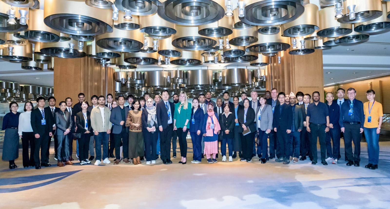
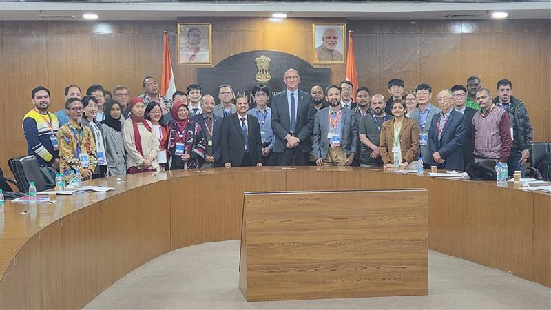
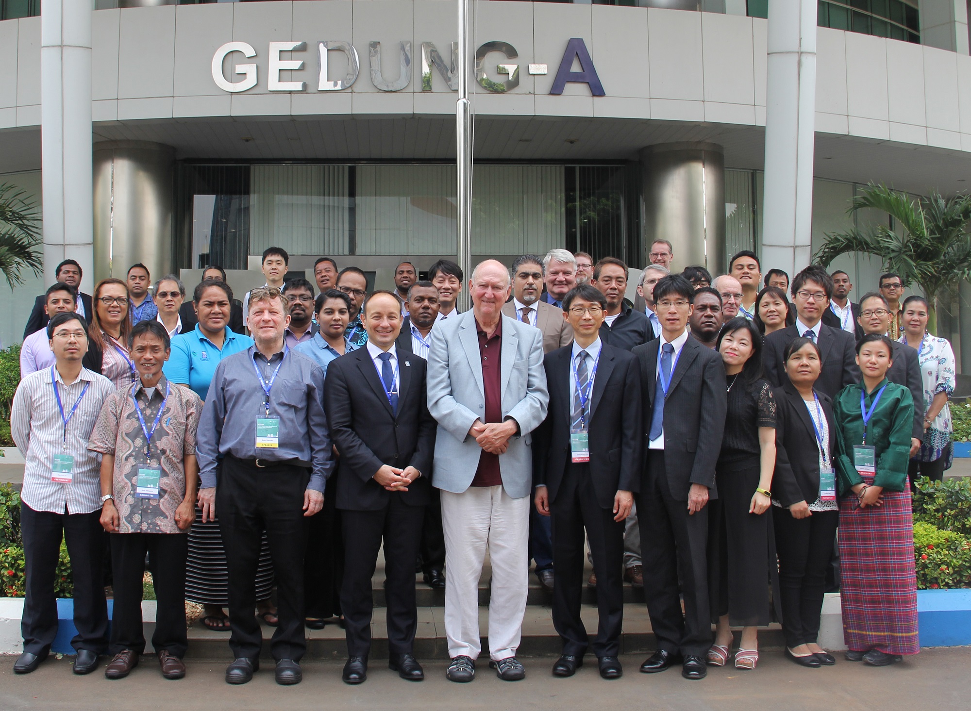
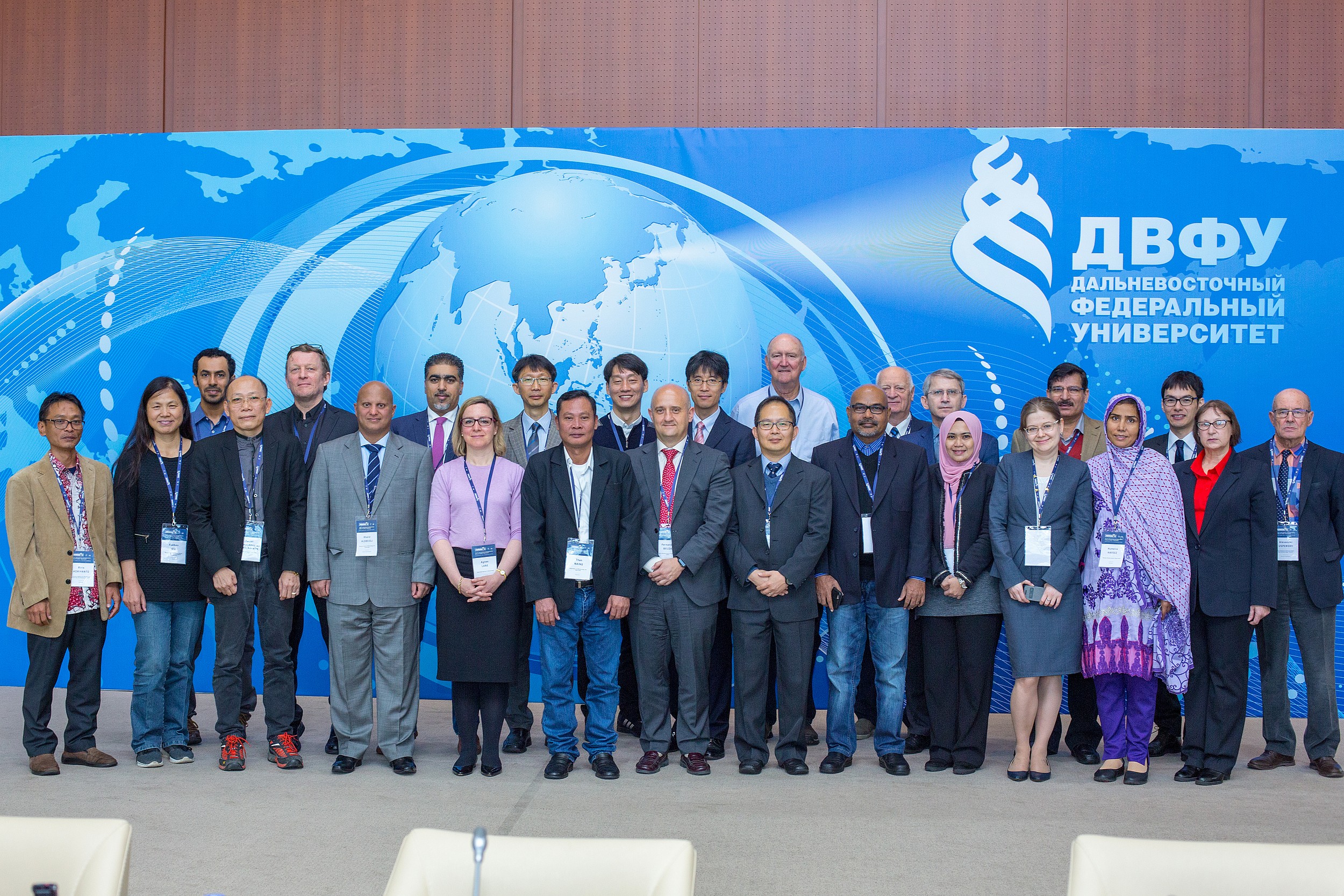
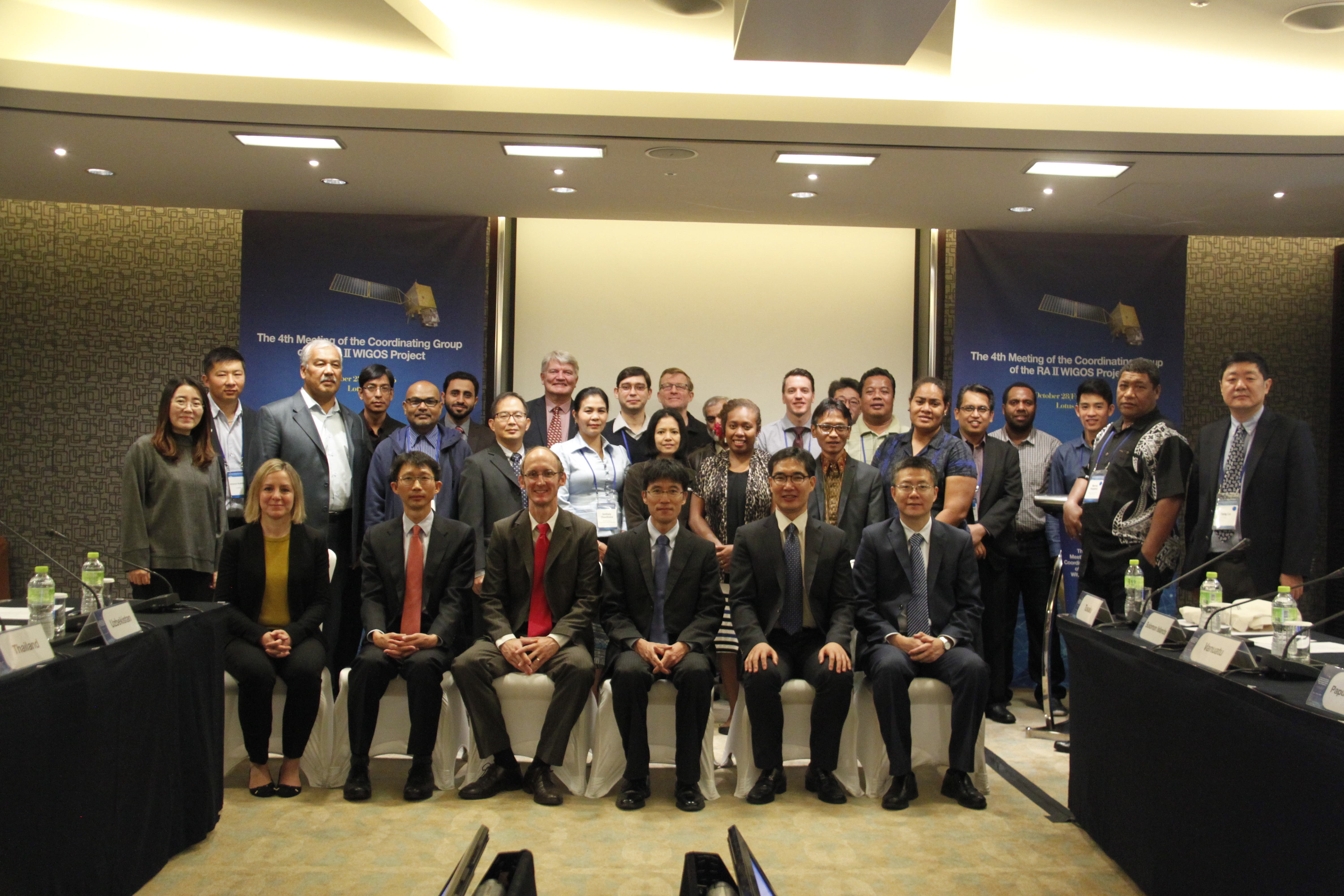
Meetings
- The 7th Joint RA-II and RA-V Coordination Meeting, Qingdao, China(31 October 2025)
- The 6th Joint RA-II and RA-V Coordination Meeting, New Delhi, India(7 December 2024)
- The 5th Joint RA-II and RA-V Coordination Meeting, Busan, Korea(10 November 2023)
- The 4th Joint RA II - RA V Coordination Meeting, Tokyo, Japan (On-Line Meeting, 18 November 2022)
- The Third Joint Meeting of RA II WIGOS Project and RA V TT-SU for RA II and RA V NMHSs, Beijing, China (On-Line Meeting, 5 November 2021)
- The Second Joint Meeting of RA II WIGOS Project and RA V TT-SU for RA II and RA V NMHSs, Melbourne, Australia (7 December 2019)
- The Joint Meeting of RA II WIGOS Project and RA V TT-SU for RA II and RA V NMHSs, Jakarta, Indonesia (11 October 2018)
- 5th Meeting of the Coordinating Group, Vladivostok, Russia (21 October 2017)
- 4th Meeting of the Coordinating Group, Songdo(Incheon), Republic of Korea (28 October 2016)
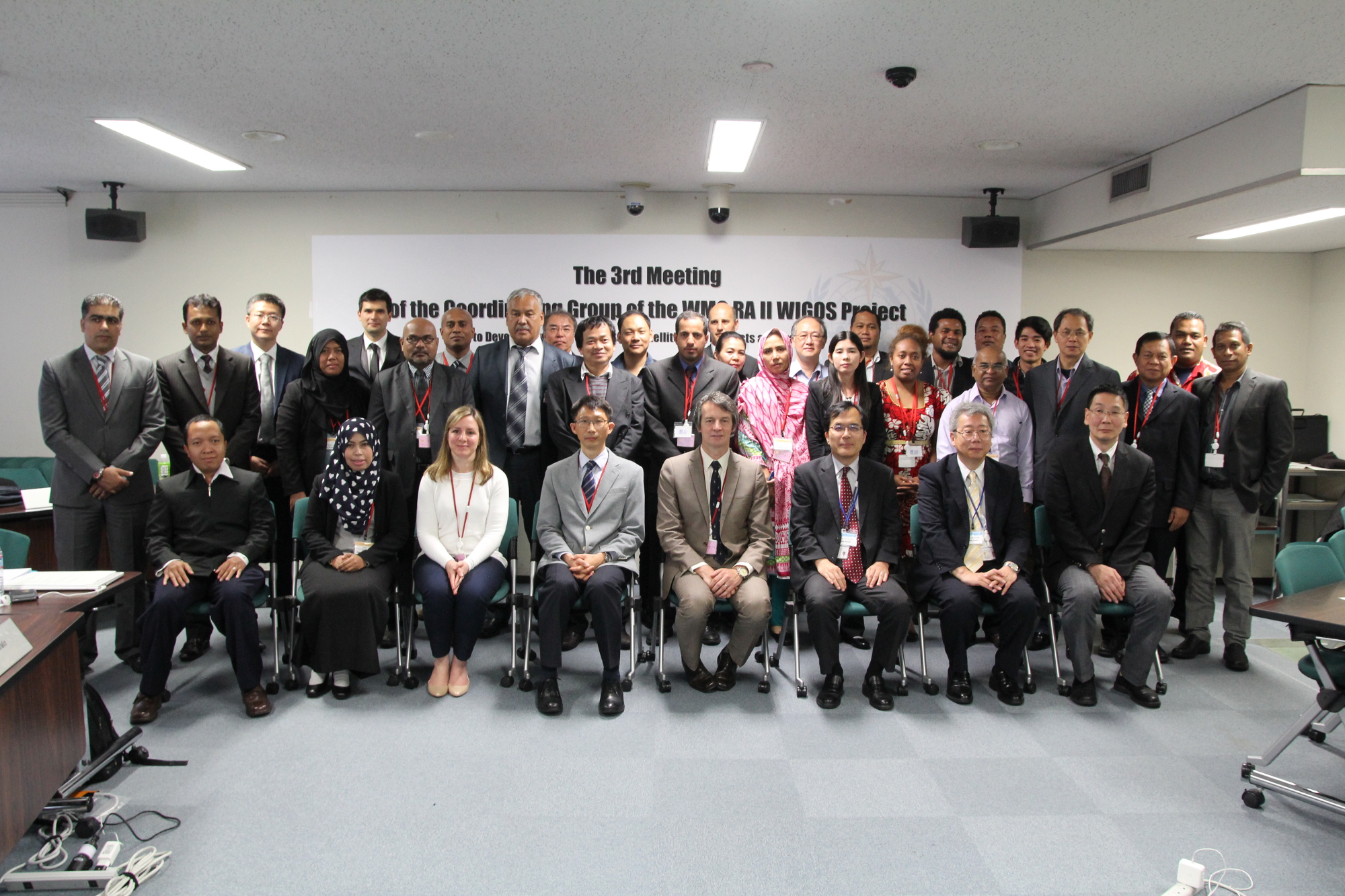
- 3rd Meeting of the Coordinating Group, Tokyo, Japan (14 November 2015)
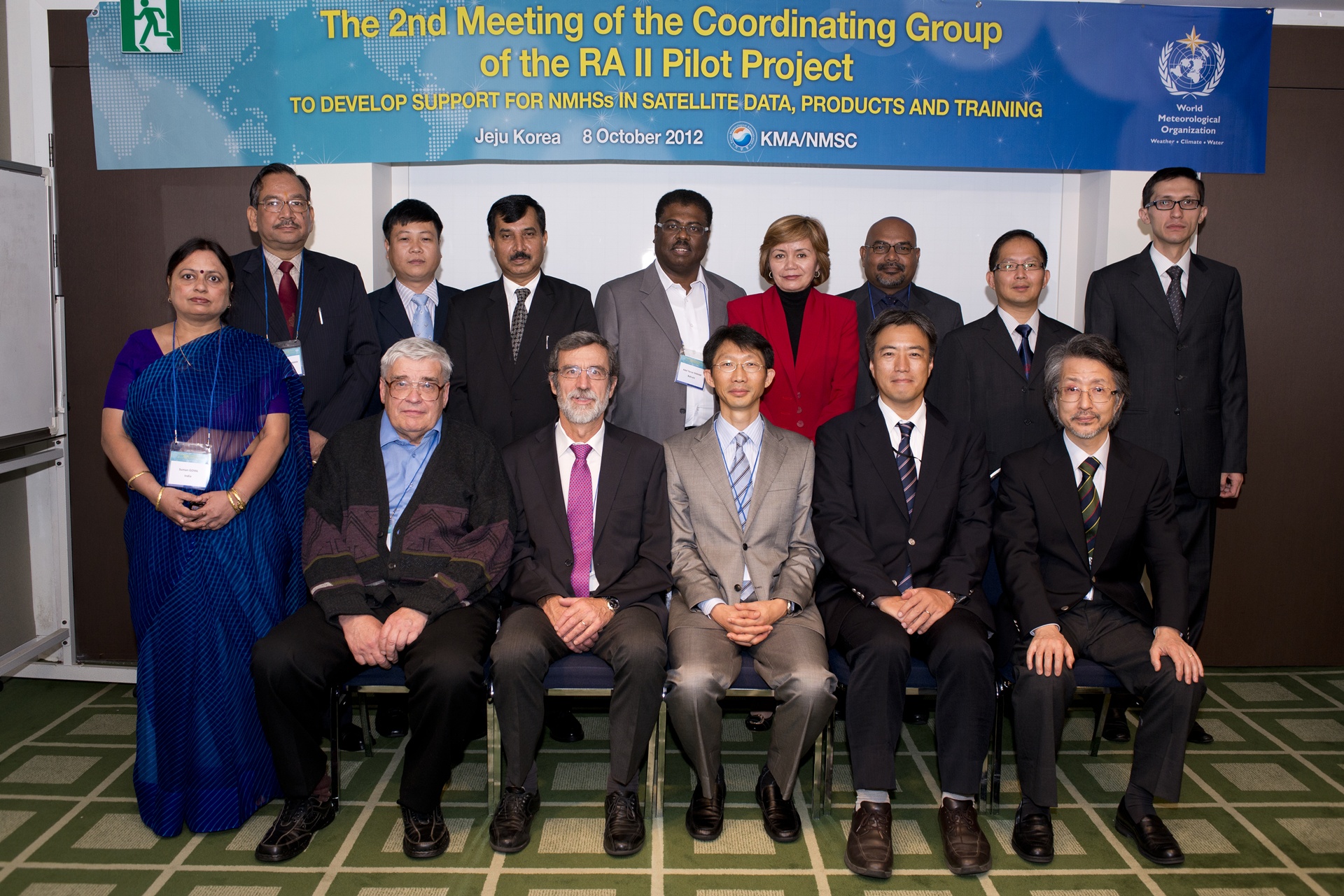
- 2nd Meeting of the Coordinating Group, Jeju Island, Republic of Korea (8 October 2012)
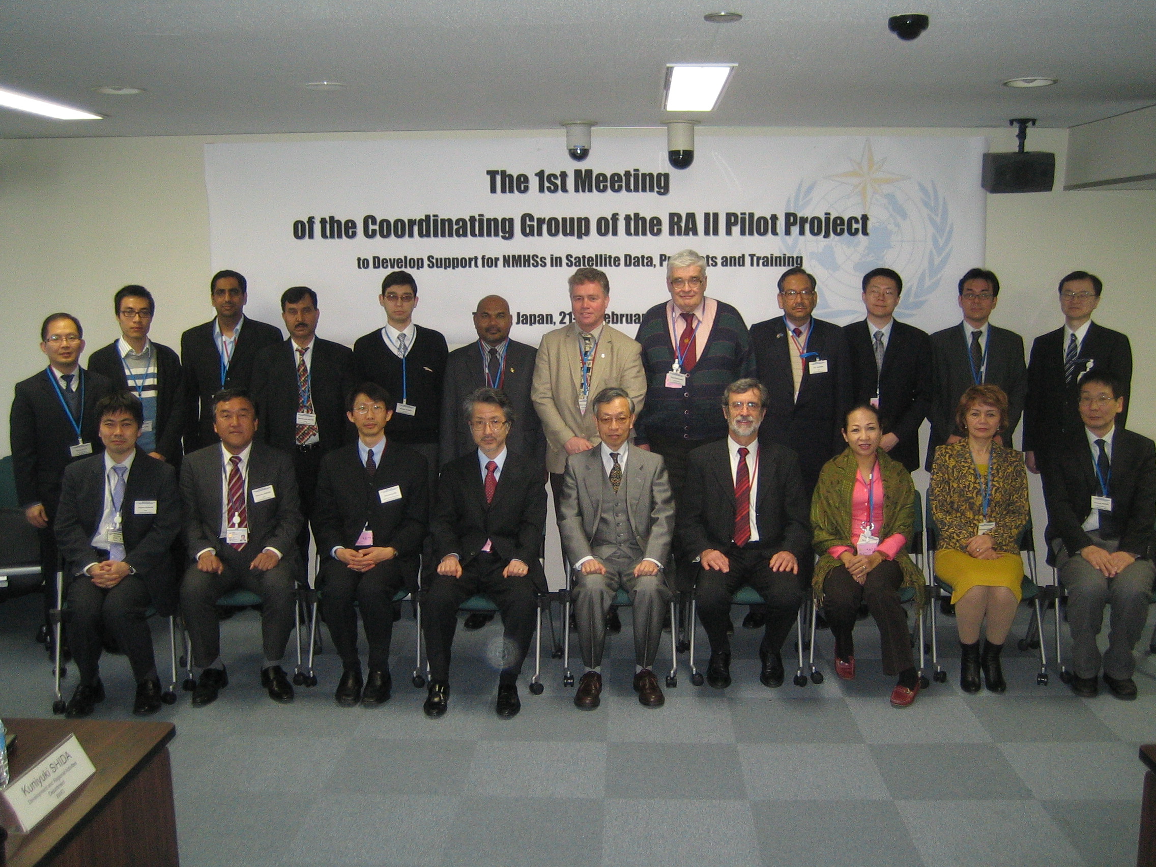
- 1st Meeting of the Coordinating Group, Tokyo, Japan (21-23 February 2011).
Request-based high frequency regional observation
Map Display: High Frequency Observation Areas for CMA, JMA, and KMA
Emergency Support Mechanism of FENGYUN Satellite (FYESM) [CMA]
China Meteorological Administration (CMA) introduced the Emergency Support Mechanism of FENGYUN (FY) Satellite (FYESM) in 2018, open to international users who made a request once visited by such extreme events as typhoon, heavy rain, severe convection, forest or grassland fire and sand and dust storm. In this case, the on-duty FY satellite is activated to initiate highly frequent observation of a given area at an interval of up to 1 minute and 250 meters resolution, processing and generating images and quantitative products, which are provided through such channels as CMACast, Internet and direct satellite broadcasting, to inform the processes of disaster preparedness, mitigation and relief in a timely fashion.
URL: https://data.nsmc.org.cn/FYESM/en/emergency/index.html
HimawariRequest [JMA]
The HimawariRequest service enables registered NMHS users to request particular Target Area observations in order to leverage this flexibility on an international scale. The service stems from a WMO RA II (Asia) regional project to develop support for NMHSs in satellite data, products and training in collaboration with WMO RA V (South-West Pacific) Members.
JMA expects the HimawariRequest service to support disaster risk reduction activities in the region based on the monitoring of extreme events such as tropical cyclones and volcanic eruptions.
URL: https://www.jma.go.jp/jma/jma-eng/satellite/HimawariRequest.html
Geo-Kompsat-2A AMI Rapid Scan (ARS) Service[KMA]
The Advanced Meteorological Imager (AMI) on board Geo-Kompsat-2A (GK2A) is capable of frequent and flexible observation, providing full disk images of the Earth every 10 minutes and regional images at shorter intervals. Full disk and other regional observations have spatial resolutions of 0.5 to 2 km and spectral coverage incorporating 16 channels.
The GK2A AMI Rapid-Scan (ARS) service allows National Meteorological and Hydrological Services (NMHSs) to request particular Target Area observations by leveraging the location flexibility on an international scale.
URL: https://nmsc.kma.go.kr/enhome/html/special/specialIntro.do?lang=en
Newsletters
The newsletter is aimed at sharing the latest satellite-related information in areas such as imagery, data, products and training, including:
- Information on access to satellite imagery, data and products including application products
- Training activities currently available or planned
- News on meteorological satellites
- News on new services
- Progress reports on the Project
- Introduction to activities of other RAs and the WMO VLab
- Reports of relevant meetings
We look forward to receiving your contributions to the newsletter!
Articles from satellite operators or from any RA II Member are welcome, regardless of whether they are registered as members of the Project Coordinating Group or not. Topics could include, for example, satellite-related activities, such as how Members have used satellite data to improve weather/climate products.
RA II and RA V Survey on the Use of Satellite Data 2018
The purpose of the present RA II and RA V Survey on the Use of Satellite Data 2018 is to collect up-to-date information on WMO Members' capabilities and needs regarding the use of satellite data in meteorological, climate, water and related environmental applications.
The survey was conducted under the leadership of the WMO Regional Coordination Groups on Satellite Data Requirements for Regional Association II and Regional Association V, that are the Regional Association II World Meteorological Organization (WMO) Integrated Global Observing System (WIGOS) Project to Develop Support for National Meteorological and Hydrological Services (NMHSs) in Satellite Data, Products and Training and the Regional Association V Task Team on Satellite Utilization.
RA II and RA V Survey on the Use of Satellite Data * Link to WMO
Satellite Program Division, Japan Meteorological Agency
E-mail: metsat AT met.kishou.go.jp