On 24 March 2005, the first test images in visible and infrared channels were obtained with JMA's MTSAT-1R satellite which was launched on 26 February 2005. The images attached and linked from below are reduced versions from the full images.
MTSAT-1R is expected to be put into operation around the end of May 2005 after the on-going in-orbit test.
| First images from MTSAT-1R: | |
|---|---|
| Channel | Wavelength (micrometer) |
| Visible Channel | 0.55 - 0.90 |
| Infrared Channel 1 | 10.3 - 11.3 |
| Infrared Channel 2 | 11.5 - 12.5 |
| Infrared Channel 3 | 6.5 - 7.0 |
| Infrared Channel 4 | 3.5 - 4.0 |
First images from MTSAT-1R
|
|
|

|
|
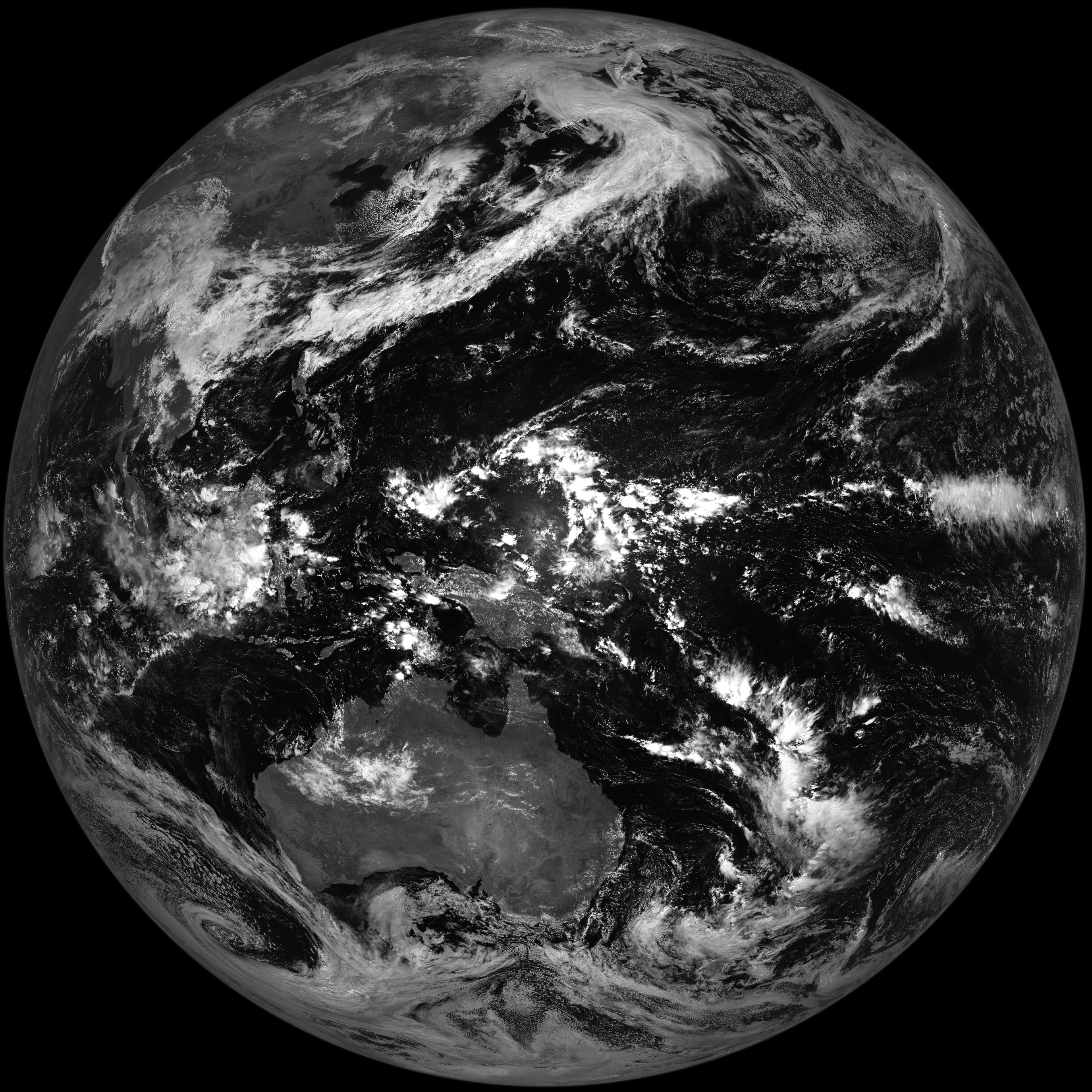
| Visible Channel (VIS) |
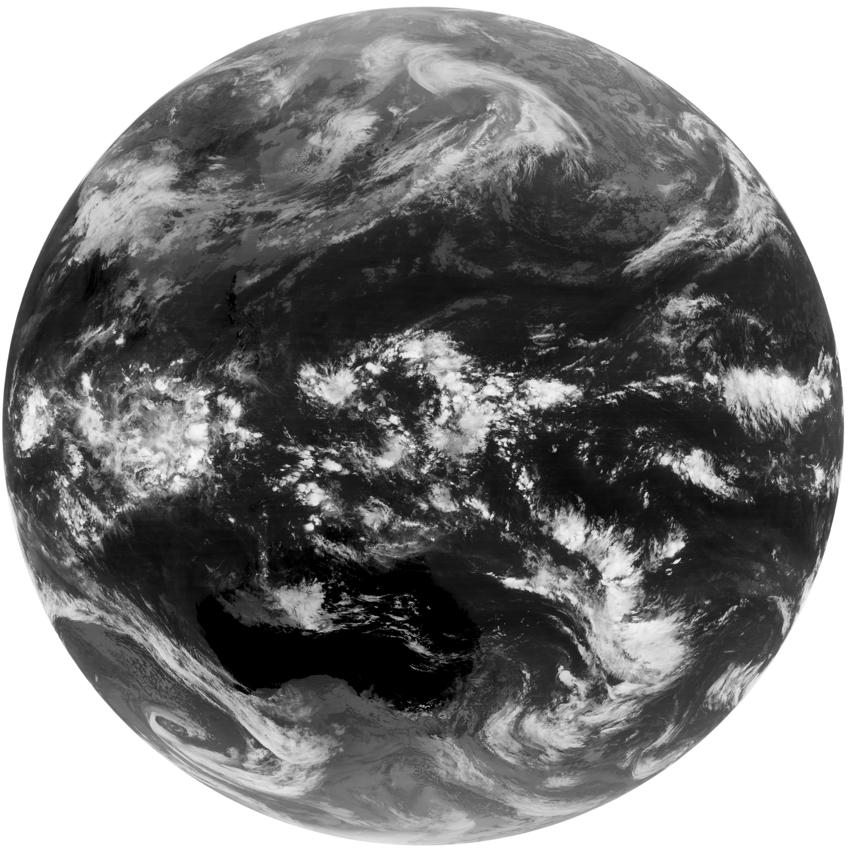
Infrared Channel 1 (IR1) |
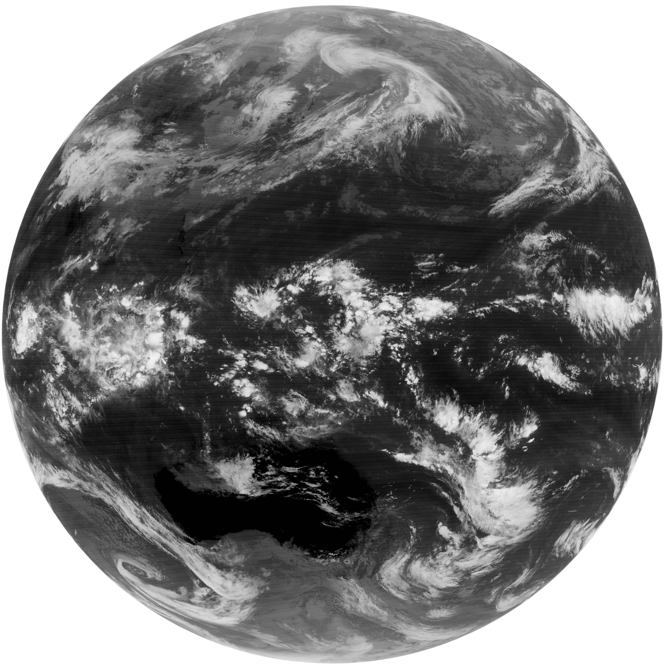
Infrared Channel 2 (IR2) |
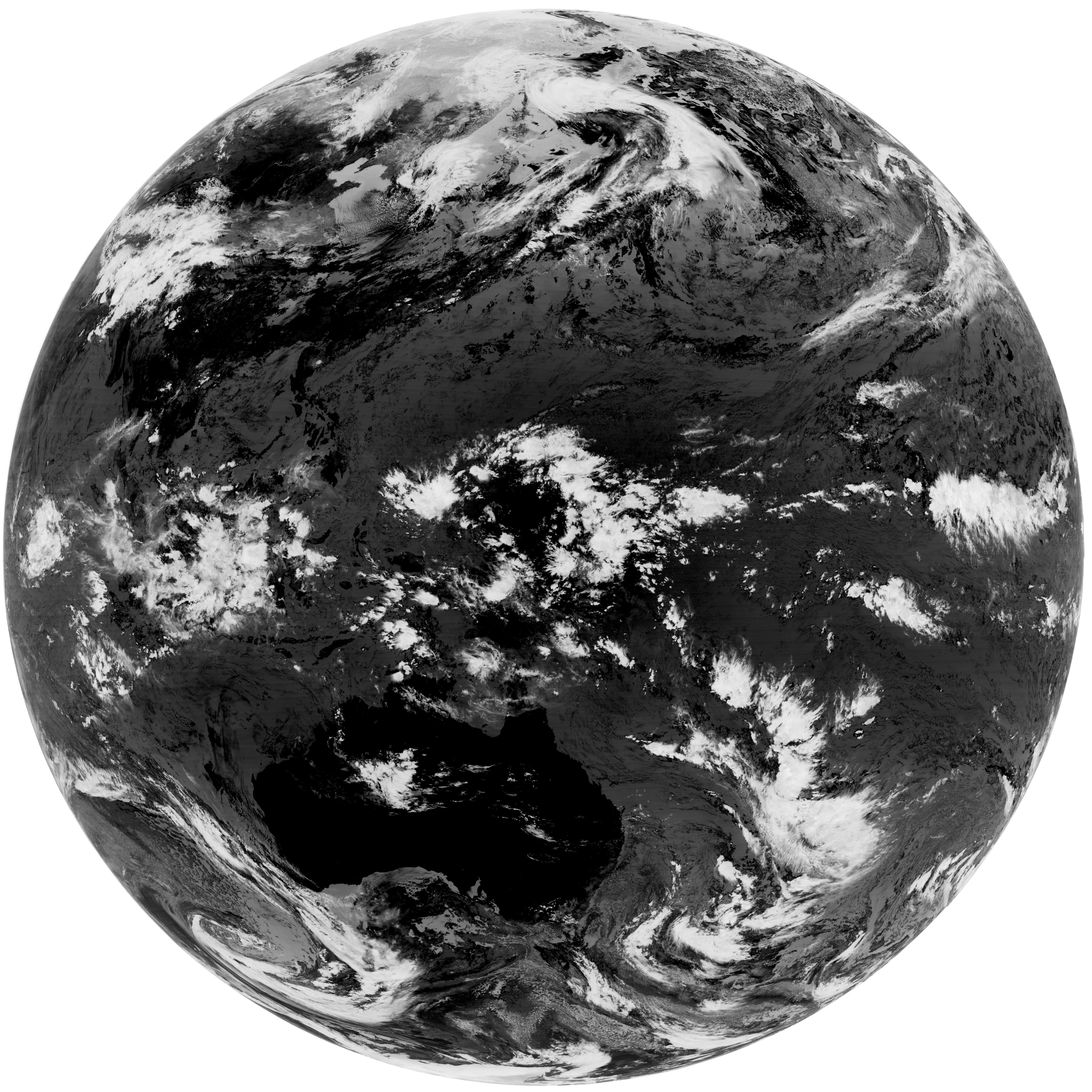
Infrared Channel 3 (IR3) |
Infrared Channel 4 (IR4) |
| Click to view larger image | ||||
These are the first test visible and infrared images from the recently launched MTSAT-1R satellite, taken 02 hours (UTC) on 24th of March 2005.
MTSAT-1R will provide imagery for the Northern Hemisphere every thirty minutes, unlike the previous hourly rate, enabling JMA to more closely monitor typhoon and cloud movement. The satellite will deploy new imager with a new infrared channel (IR4) in addition to the four already existing channels (VIS, IR1, IR2 and IR3) of the GMS-5. MTSAT-1R imagery will be more effective than the GMS-5 in detecting low-level cloud/fog and estimating sea surface temperature at night and will have enhanced brightness levels, enabling a never before level of quality in imagery.