Preface
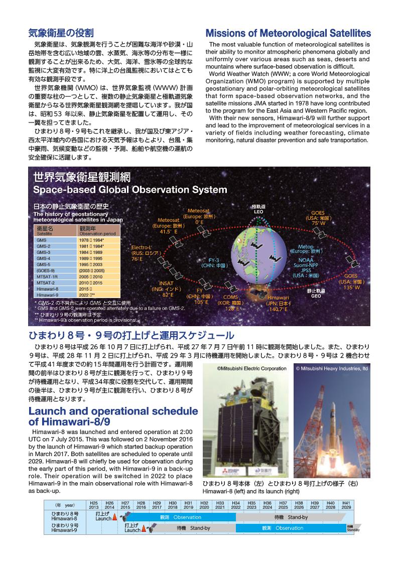
In 1977, Japan launched the first geostationary meteorological satellite (GMS) into geostationary orbit (about 36,000 km above the equator at a longitude of 140 degrees east) mainly to cover the western Pacific and East Asia as part of a space-based component of the Global Observation System (GOS) under the WMO World Weather Watch (WWW) programme. Since then, continuous efforts have been made to maintain and enhance the observational capabilities of meteorological satellites.
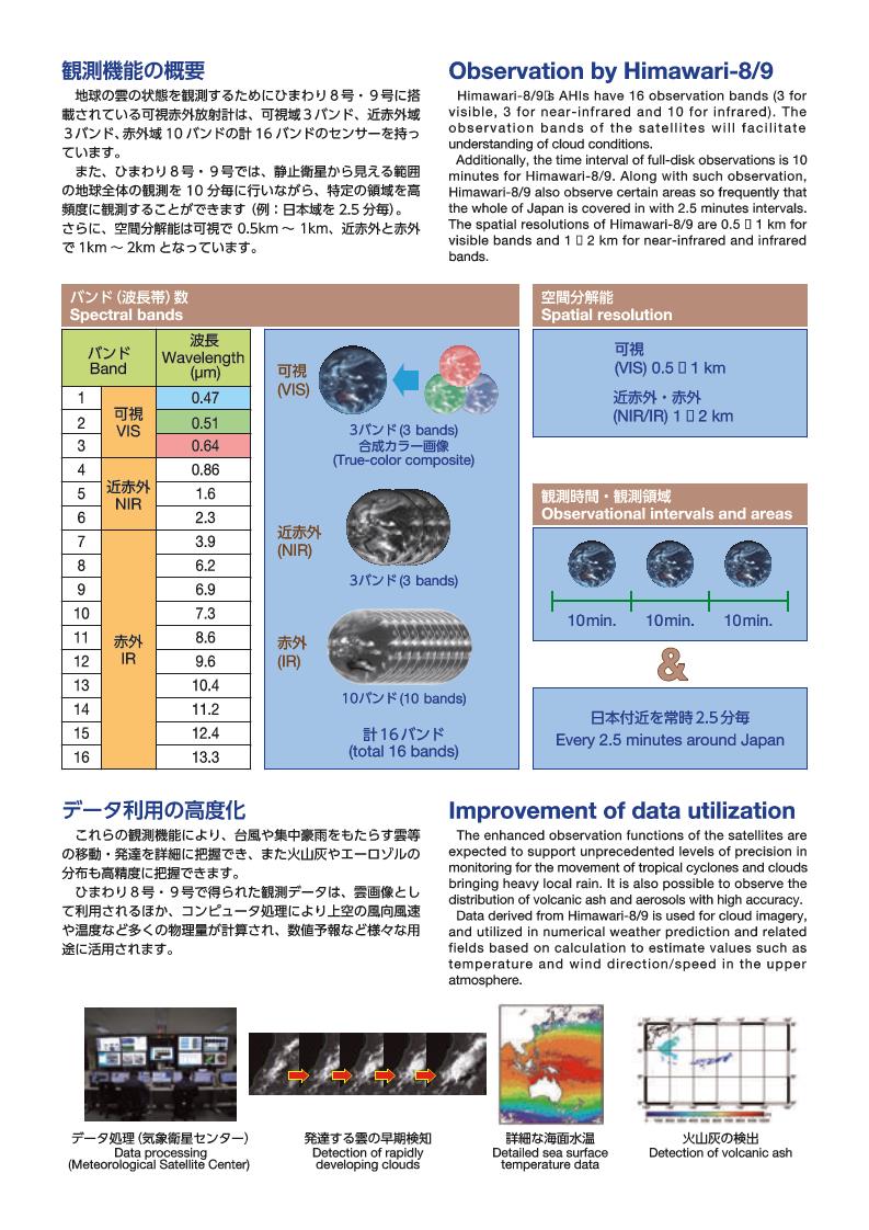
Satellite observation provides a wealth of information, including data on cloud height and distribution, upper-air wind, and sea surface temperature distribution. The observational data received from the spacecraft allow JMA and other National Meteorological and Hydrological Services (NMHSs) to continuously monitor significant meteorological phenomena such as typhoons, fronts and low-pressure systems. The data are also directly assimilated into the numerical weather prediction system, which in turn contributes to the timely issuance of disaster prevention information and weather forecasts from JMA and NMHSs.
Latest News Releases
- 10 Feb. 2025 HimawariCast Newsletter No.18
- 17 Jul. 2024 Utilization of Meteorological Satellite Data in Cloud Analysis (Link to MSC/JMA)
- 19 Mar. 2024 HimawariCast Newsletter No.17
- 30 Jan. 2024 HimawariCast Newsletter No.16
- 22 Feb. 2023 RA II WIGOS Project Newsletter Vol. 13 No. 1
- 31 Oct. 2022 HimawariCast Newsletter No.15
Shortcut to practical information
- Himawari User's Guide (Link to MSC/JMA)
- Himawari-8/9 Operational Information (Link to MSC/JMA)
- Himawari-8/9 Operational Status (Link to MSC/JMA)
- Himawari-8/9 DCS Status (Link to MSC/JMA)
- Himawari-8 Operational Schedule (Link to MSC/JMA)
- Himawari-9 Operational Schedule (Link to MSC/JMA)
Satellites
| Satellite Name |
|
|
|---|---|---|
| Himawari-8 | Himawari-9 | |
| Position | 35,800 km above the equator at around 140.7 degrees east longitude | 35,800 km above the equator at around 140.7 degrees east longitude |
| Observation period (JFY) | From 2015 to 2022 | From 2022 to 2030 (scheduled) |
| Observation Status | Standby | Operational |
| DCP Status | Standby | Operational |
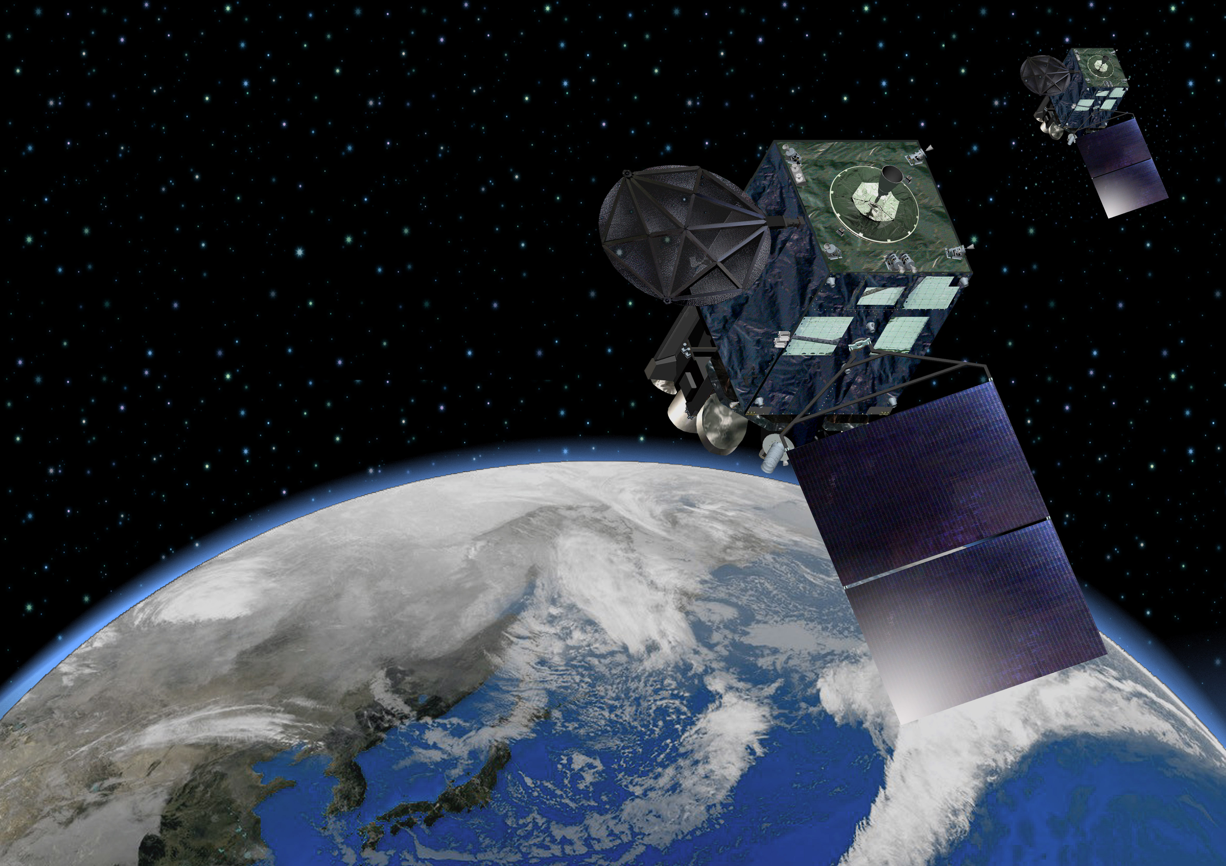
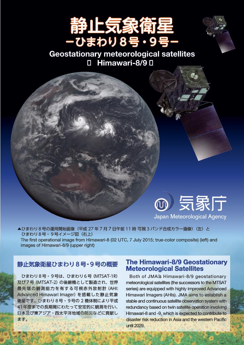
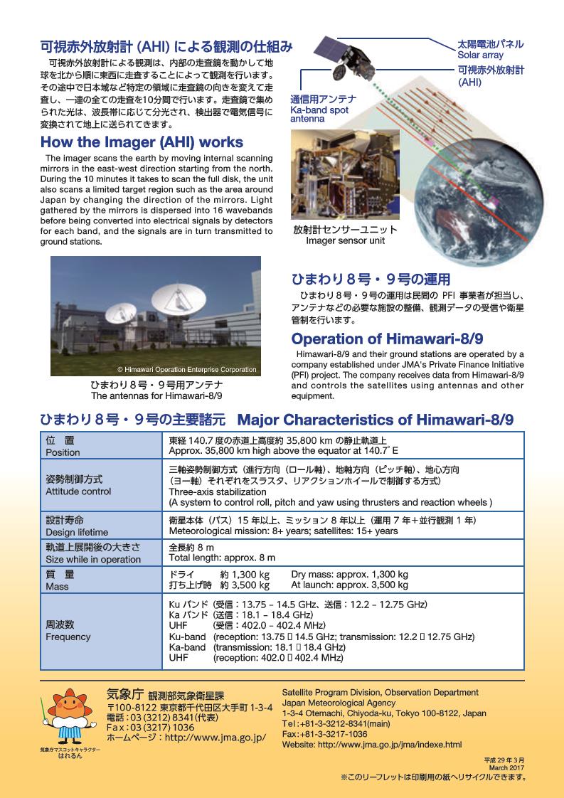
JMA began operation of Himawari-8 on 7 July 2015 as a replacement for MTSAT-2 (also known as Himawari-7). Himawari-9 started backup operation on 10 March 2017, taking over the main operational role on 13 December 2022 with Himawari-8 as back-up. Both satellites are located in orbit at around 140.7 degrees east, and will observe the East Asia and Western Pacific regions. All imagery derived from Himawari-8/9 is distributed to NMHSs via an Internet cloud service. JMA has further launched its HimawariCast service, by which primary sets of imagery are disseminated to NMHSs via a communication satellite.
Himawari-8/9 leaflet
- Himawari-8/9 leaflet (PDF, 6.6 MB) (March 2017)
Satellite Program Division, Japan Meteorological Agency
E-mail: metsat AT met.kishou.go.jp